1
Sewer grid input
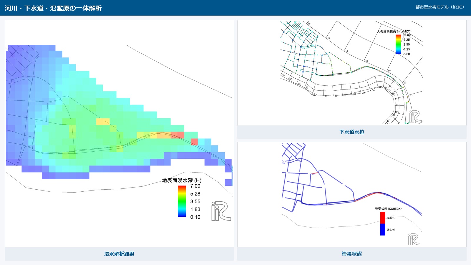
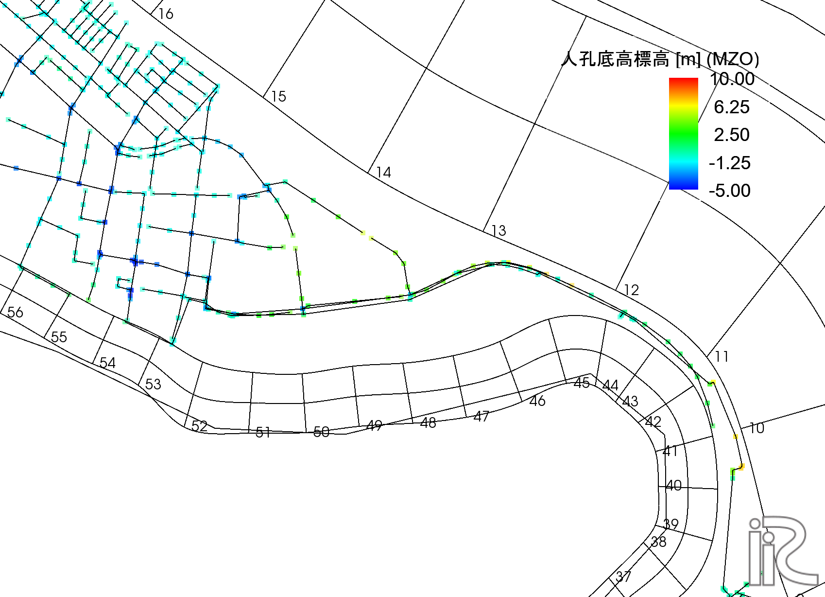
Model underground sewer networks and use them together with river analysis.
Configurable items
Manhole data
| Setting item |
|---|
| X coordinate |
| Y coordinate |
| Manhole ID |
| Manhole invert elevation |
| Manhole section type |
| Internal width / diameter |
| Internal length / diameter |
Conduit data
| Setting item |
|---|
| Conduit ID |
| Downstream manhole ID |
| Upstream manhole ID |
| Internal width / diameter |
| Internal height / diameter |
| Downstream invert elevation |
| Upstream invert elevation |
| Conduit section type |
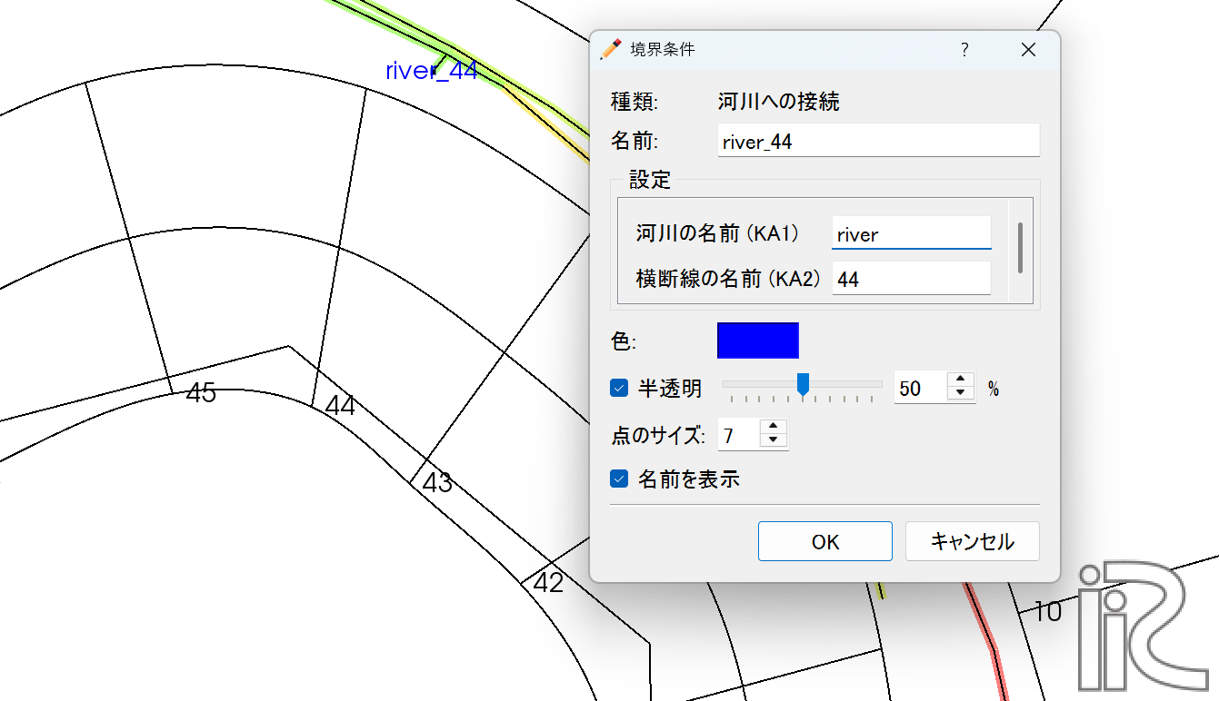
River connection boundary conditions
By defining how sewers connect to rivers, you can represent drainage, backflow, and other water exchange. Specify the connection location and register it as a boundary condition.